
By Audrey Payne
On December 10, 1972, the world of sea ice data changed forever. For the first time in history, as the Electrically Scanning Microwave Radiometer (ESMR) launched aboard the NASA Nimbus-5 satellite, scientists gained the ability to track changes in sea ice cover over the Polar Regions every day via passive microwave data. Today, they can piece together a half century’s worth of data from several instruments and satellite missions, including ESMR, to better understand how global warming is affecting Arctic and Antarctic sea ice.
— Credit:
Walt Meier, NSIDC
When ESMR launched, there was not yet consensus within the scientific community as to whether climate change was occurring and if it was human-caused. It was still early in the game of climate change research. Scientists have understood the “greenhouse effect”—the way greenhouse gases like carbon dioxide trap heat close to Earth’s surface —since 1824, but global warming research really did not begin until the 1950s and 1960s. And global warming did not become a widely known issue until 1988, when NASA climate scientist James Hansen testified before the United States Congress. Hansen said that he was 99 percent certain that it was a buildup of pollutant carbon dioxide and other artificial gases in the atmosphere, not natural variation, that caused the recent rising global temperatures. So, when ESMR launched, researchers could not yet have known how valuable this technology would become.
During the first couple of decades of sea ice extent and concentration data, the results were less than exciting. Scientists were not seeing many significant changes, and capabilities were limited. When asked what studying sea ice behavior via satellite imagery was like in the early 1970s, one NASA scientist, Jay Zwally, reportedly said, “It was like watching paint dry.”
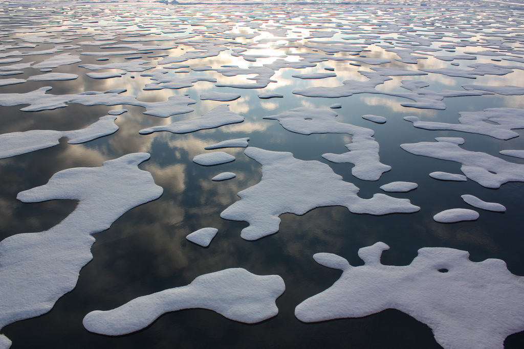
Improving satellite technology
— Credit:
Agnieszka Gautier, NSIDC
However, after ESMR was retired in 1977, new instruments began gathering satellite data in its place with increased capabilities. The improvements that came next allowed scientists to observe sea ice cover in greater detail and to create algorithms based on the satellites’ multiple channels, as opposed to ESMR’s one channel, to better understand what was happening. These new and improved instruments included the following:
- 1978: The Scanning Multichannel Microwave Radiometer (SMMR) instrument launched aboard the NASA Nimbus-7 satellite. Unlike ESMR, SMMR had multiple channels and collected data in multiple parts of the electromagnetic spectrum, providing more complete and accurate information on ice cover than ESMR’s single channel.
- 1987: The Special Sensor Microwave/Imager (SSM/I) on the U.S. Defense Meteorological Satellite Program’s (DMSP) satellites. SSM/I was an operational sensor that was launched on a series of DMSP satellites. SSM/I also added another frequency, 85 Gigahertz, that provided more detail, or higher spatial resolution, and additional information that was especially useful for sea ice motion.
- 2003: The Special Sensor Microwave Imager/Sounder (SSMIS) instrument on the DMSP satellites. SSMIS is a continuation of SSM/I that is still operating today. Both SSM/I and SSMIS contain multiple channels that are similar to those on SMMR; this provides consistency between all three sensors. From the beginning of SSM/I through today with SSMIS, at least one sensor has operated continuously.
- 2003: The Advanced Microwave Scanning Radiometer for the NASA Earth Observing System (AMSR-E) aboard NASA’s Aqua satellite. The spatial resolution of AMSR-E data doubles the resolution of SMMR and SSM/I-SSMIS data. In addition, AMSR-E combines all the channels that SMMR and SSM/I-SSMIS had individually within one sensor. AMSR-E operated until October 2011.
- 2012: The Advanced Microwave Scanning Radiometer 2 (AMSR2) instrument on the Japanese Aerospace Exploration Agency’s Global Change Observation Mission – Water (GCOM-W), “SHIZUKU” satellite. Compared with AMSR-E, AMSR2 offers enhanced spatial resolution, better calibration, and improved mitigation of radio-frequency interference. AMSR2 continues to operate and an AMSR3 is planned to be launched in the coming years.
Data sets from these instruments are available at the NASA National Snow and Ice Data Center Distributed Active Archive Center.
Arctic vs. Antarctic sea ice
As time went on and the instruments improved, Arctic sea ice cover especially began to dwindle, and the changes shown in the satellite data became a lot more dramatic and relevant. In 2012, for example, Arctic sea ice extent hit a record low of 3.39 million square kilometers (1.31 million square miles). Compared with the sea ice minimum extent in 1979—6.90 million square kilometers (2.66 million square miles)—the 2012 minimum was less than half. And as of 2022, the last 16 minimum Arctic sea ice extents have been the lowest in the 50-year record.
While Arctic sea ice loss was slow as the satellite record began, it has proved to be well worth watching. Antarctic ice, on the other hand, has been much more variable and there has been no clear trend. For example, in 2014, Antarctic sea ice extent hit a record high. Then just a couple years later, in 2016, ice extent reached record low levels. However, scientists expect that as temperatures continue to warm, Antarctic sea ice will show a clear downward trend as well.
Bridging the gap to create a 50-year record
A roughly one-and-a-half-year gap exists in data from the end of ESMR in May 1977 to the launch of SMMR in late October 1978, so historically, the official beginning of the satellite record is cited as late 1978. However, in a 2003 American Geophysical Union’s Geophysical Research Letters paper, “30-Year satellite record reveals contrasting Arctic and Antarctic decadal sea ice variability,” researchers Don Cavalieri and Claire Parkinson at the NASA Goddard Space Flight Center used National Ice Center ice charts to bridge this gap, tying together 30 years of sea ice data. Teaming up with Parkinson, NSIDC senior research scientist Walt Meier has updated this to 50 years.
“Extending the record to 50 years in the Arctic is perhaps not that important—the signal is very clear that we are losing Arctic ice,” said Meier. “But in the Antarctic, every extra year gives us a better sense of the changes and variability of sea ice in the Southern Ocean. A half century is a remarkably long record for satellite climate data and is worth noting; Our understanding of sea ice and climate change has improved dramatically since ESMR, and the data collected have shown the dramatic changes in our Polar Regions.”


